
Måløy on Your Own: A Self-Guided Day Ashore
No excursion booked? Måløy is one of Norway's easiest cruise ports to explore independently: the ship docks by the town centre, the main street is minutes from the gangway, and marked trails, rental e-bikes and a self-guided booklet put the island within reach. Here is what genuinely works on your own — and where a guided tour still earns its keep.
Straight off the ship: the town on foot
There is no shuttle-bus theatre in Måløy — you walk off the pier and you are in town. Gate 1, the main street, runs parallel to the harbour with bakeries, cafés and shops. The working harbour is worth the stroll alone: Måløy is one of Norway's most important fishing ports, and the waterfront is used, not staged. History sits close to the surface here. Memorials around the centre recall the British-Norwegian commando raid of 27 December 1941 — Operation Archery — when the town became a battlefield of the Second World War.
Self-guided with a booklet: Streets and Stories
Streets and Stories is Måløy Tours' self-guided town experience: a printed FUNN activity booklet leads you through the streets with stories to read, small tasks to solve and details to spot — no guide, no group, no timetable. One booklet is enough for a whole family, which makes it the most affordable structured activity in port. Buy it online, collect it at the start point by the pier, and explore at your own pace.
Two wheels: e-bikes across the island
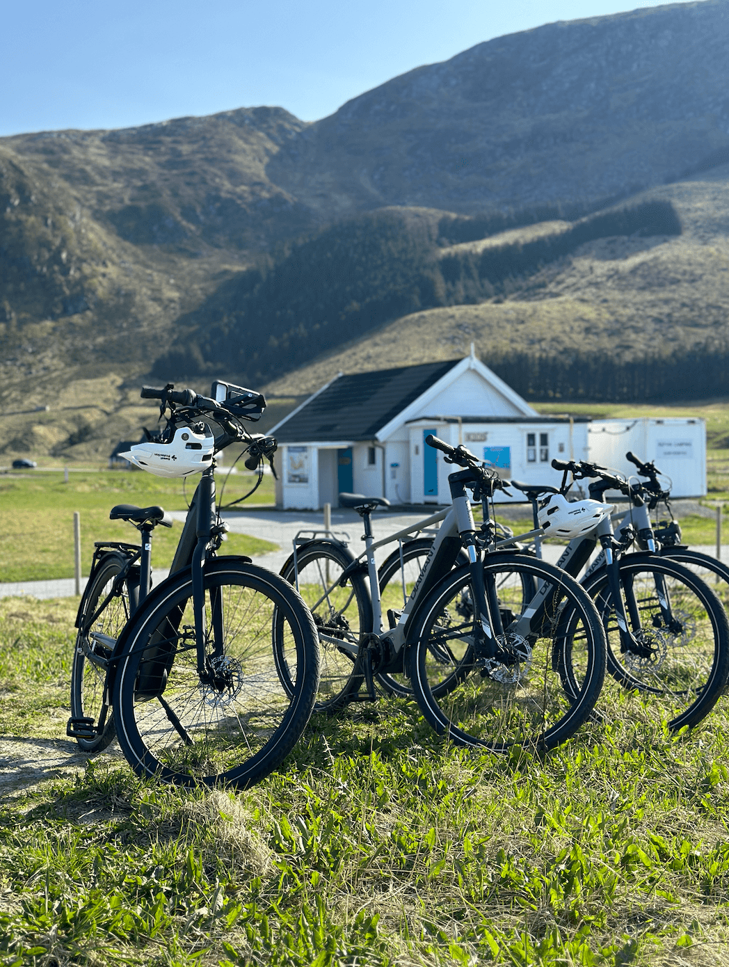
Distances on Vågsøy are honest: the famous sights sit a 20–45 minute drive from town, not a walk. Rental e-bikes — in adult and junior sizes — flatten the hills and put the island's west side within reach of an active half-day. The classic self-guided ride crosses the island to Kannesteinen, the wave-shaped rock at Oppedal; allow a good half-day return with photo stops. Pack a wind layer and remember that Norwegian traffic keeps to the right.
The beach without a tour: Beach Express to Refviksanden
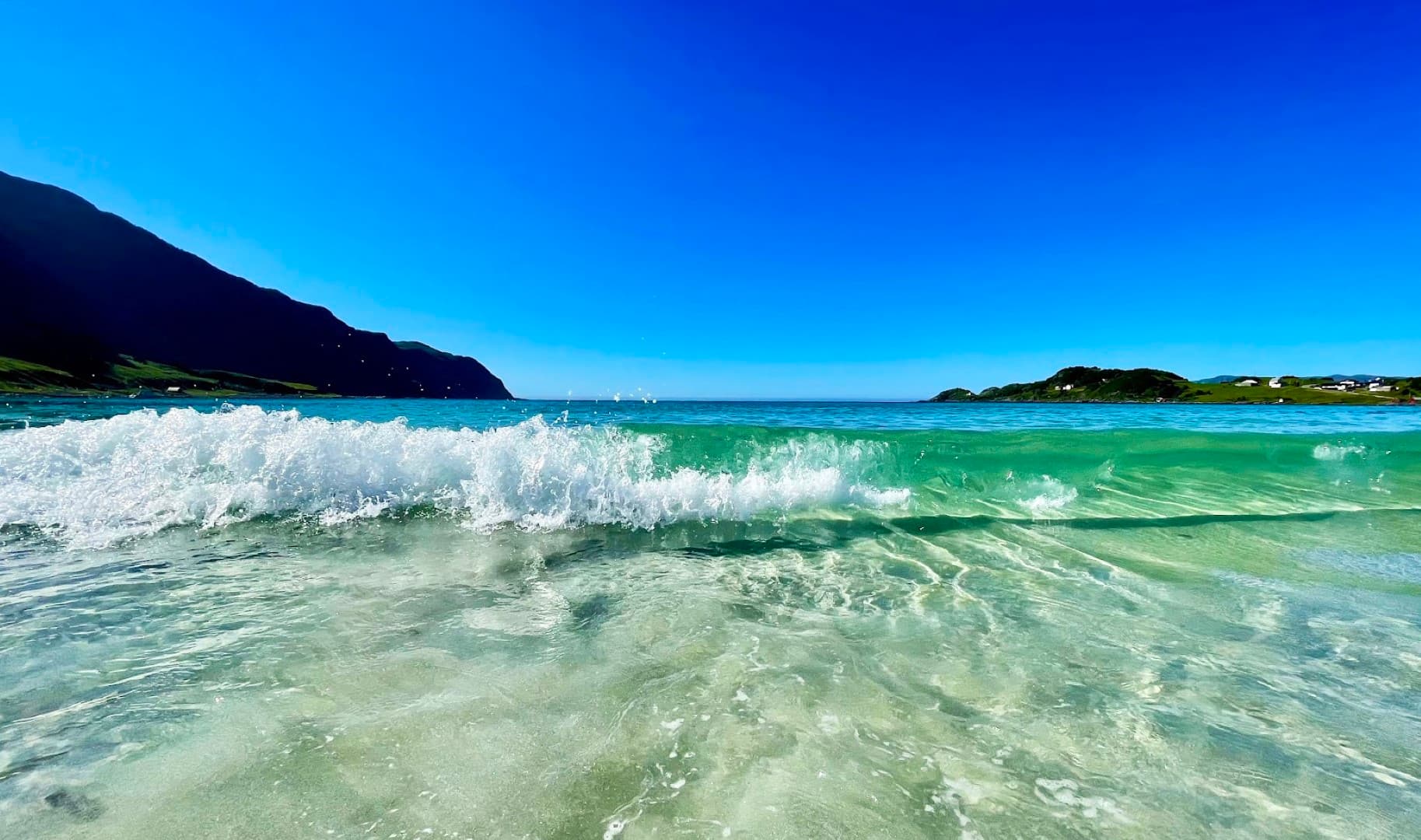
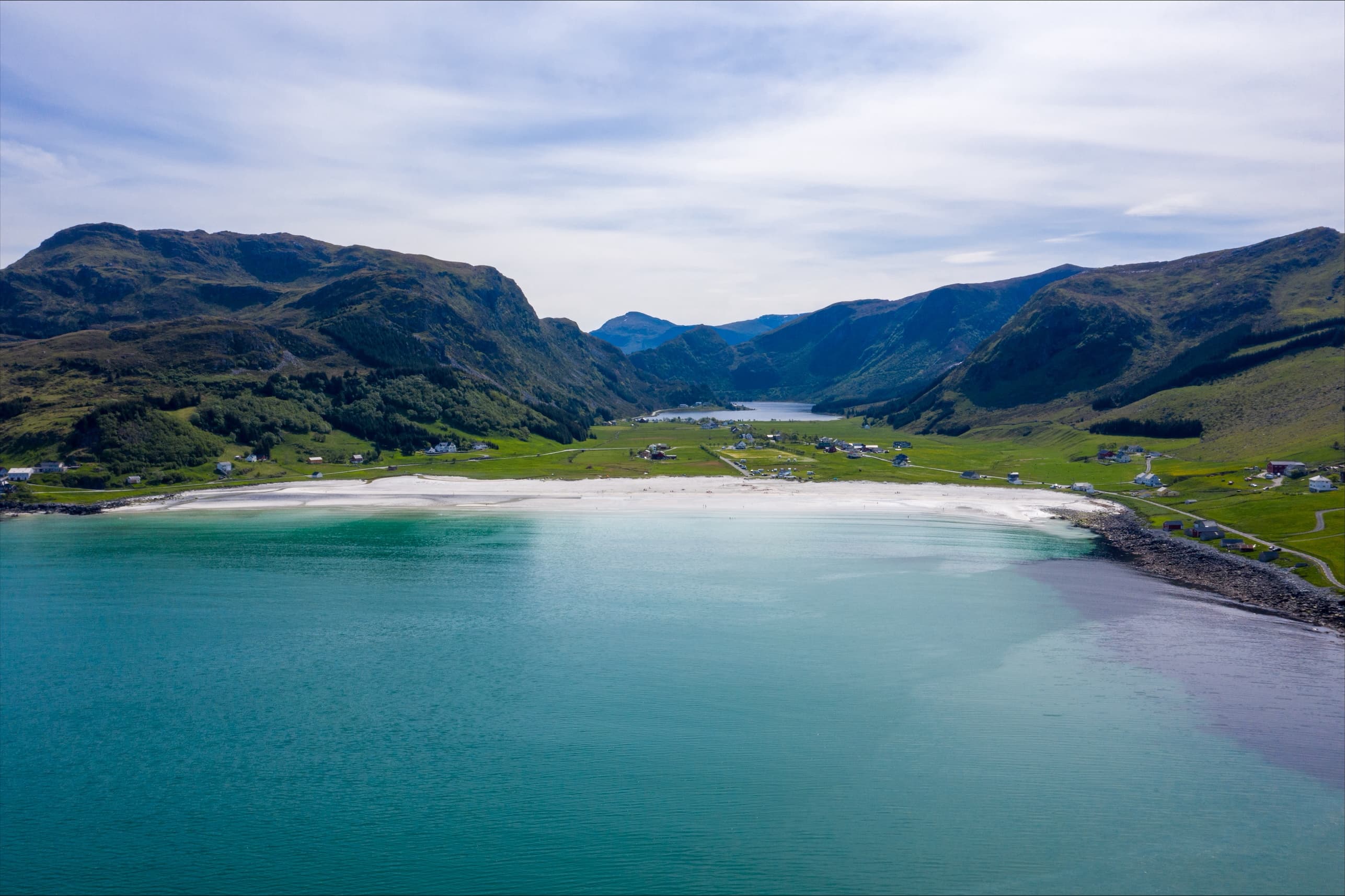
Refviksanden — roughly 1.5 kilometres of pale, almost white sand facing the open Atlantic — is the island's favourite half-day on your own. The Beach Express shuttle runs between the Måløy pier and the beach, so you get beach time without renting anything or hunting for one of the town's few taxis. Bring a towel and a windproof layer: the water stays Atlantic-cool even in July, but the light over the turquoise shallows is what you came for.
Up the hill: the Horn viewpoint
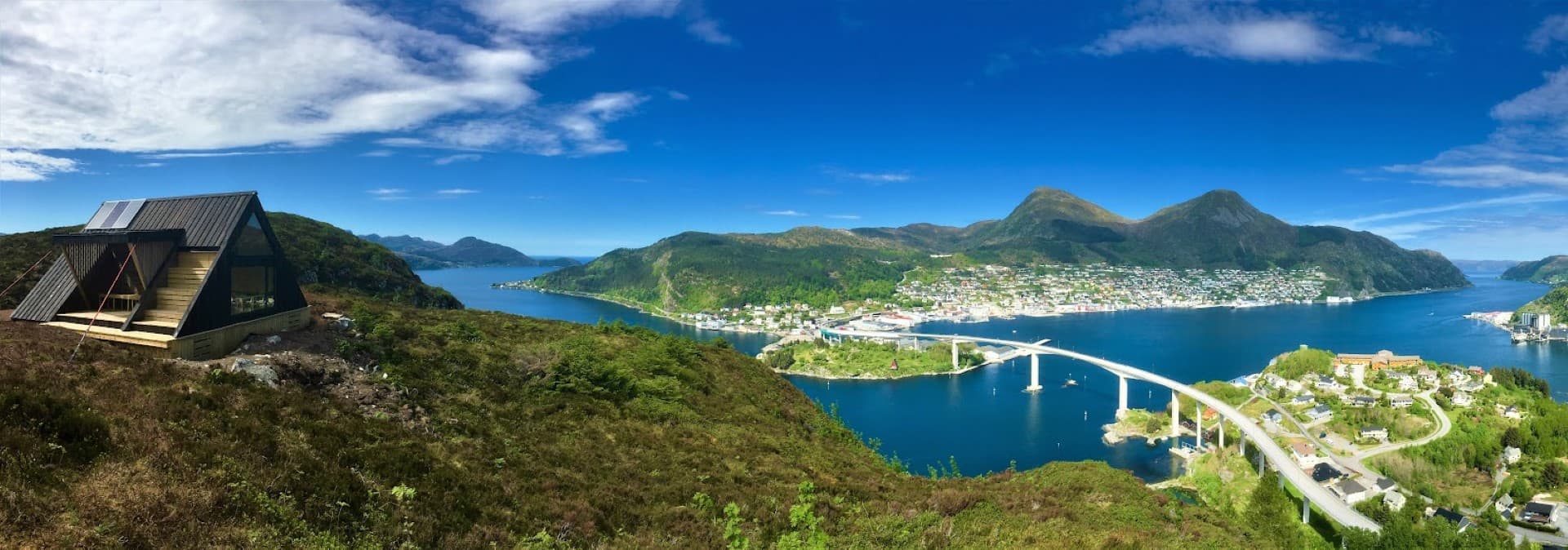
For the postcard panorama — rooftops, the Måløy Bridge, islands and fjord in one frame — follow the marked trail to the Horn viewpoint above town. It is a proper uphill walk rather than a stroll, so wear real shoes; the reward is the best free view in Måløy. If you prefer local stories and a steady pace, the guided nature walk covers the same hill.
On your own or guided? An honest split
Do independently: the town centre and harbour, Streets and Stories with the FUNN booklet, the Horn trail, Refviksanden via the Beach Express, and Kannesteinen by e-bike if you are comfortable on two wheels. Book a tour for: Hornelen — Europe's highest sea cliff at 860 metres is only reachable by boat; the West Cape, which is a long drive with no practical public transport; and anything on a tight ship schedule, since guided departures are timed to cruise calls and get you back with margin. The honest rule: if it needs a boat or a long drive, book it. If it is in town or on the near side of the island, do it yourself.
Experience it with us

FAQ
- Can I explore Måløy without booking a tour?
- Yes. The ship docks by the town centre, and the main street, harbour, war memorials and the Horn viewpoint trail are all reachable on foot. The FUNN booklet adds structure without a guide.
- Is there public transport to Kannesteinen or Refviksanden?
- Local buses exist but run infrequently and are not matched to ship schedules. Independent visitors usually choose an e-bike, the Beach Express (for Refvik) or a guided tour.
- How far is Refviksanden from the cruise pier?
- A short drive north across the island. The Beach Express shuttle covers the transfer both ways — walking there is not realistic during a port call.
- What is the FUNN booklet?
- A printed self-guided activity booklet for the Streets and Stories town walk: stories, tasks and things to spot as you explore. One booklet is enough for the whole family.
- Is the Horn viewpoint hike difficult?
- It is a real uphill walk on a marked trail — fine for anyone reasonably fit with sturdy shoes. Take it at an easy pace and add time for photos.
- Can I see Hornelen on my own?
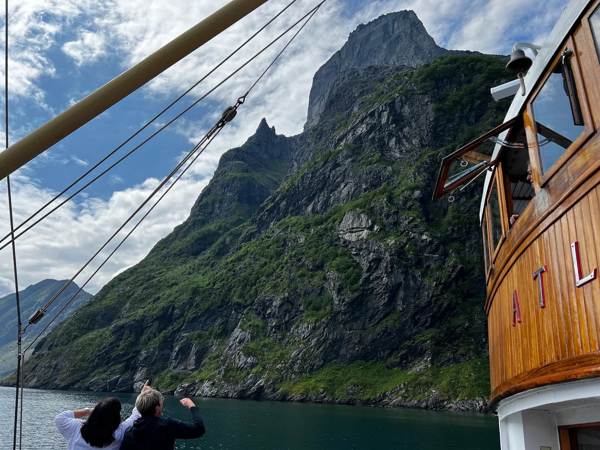
- Not really. Europe's highest sea cliff rises 860 metres straight from the sea on Bremangerlandet and is best seen from the water — the RIB tour from Måløy is the practical way in.